
Since deciding to give Fraser Island a miss this time around & instead to make for home, our travels felt different. It’s hard to quantify, but I expect other travellers may understand. Once on the ‘homeward stretch’ it’s so easy to just want to keep going & to get home, but of course we also know that once home there is likely the regret of having rushed, & in doing so failed to appreciate & absorb the country & places passed through during that period. For us reaching home is not the end of our travels, just a brief respite from moving on regularly & the opportunity to sort out a few things, easier done when stationary in a familiar place. Nevertheless we have wrestled with ‘appreciation of the now’. Unknown to us beforehand, stopping for a couple of days & utilising the facilities that the farmstay afforded us, gave us an opportunity to slow down again. We pottered & we relaxed, even enjoying the brief excitement of rounding up the owner’s herd of cattle who had escaped the confines of their paddock & went on a rampage through the camp ground and a newly sown plot of tomato plants. For us this was something quite familiar & that we were competent & happy to assist with. Somehow the two days there helped to reset our clocks and we left feeling more optimistic about our journey homeward, even though as yet the route remained undecided. From ‘What’s the point’ to ‘how to best use our time. I guess the issue was one of accepting a time limit (albeit self imposed) after striving reasonably successfully to achieve a sense of timelessness……. if that makes sense (it does to us 🙂 )
From the farmstay at Calala, just south of Tamworth, it was easy to find a ‘back road’ over the mountains to Thunderbolts Way. A route recommended by a friend who had lived in those parts in the past. Thanks George. The back road to Woolomin took us through a narrow lush valley where the green of the crops was so rich to our desert accustomed eyes it almost hurt. Small farms were dotted along the dirt road against backdrops of high forested slopes. From Woolomin we took the Duncans Creek Road which soon began to climb … and climb ….and climb. The single lane track, with no passing points that I can recall, twisted & turned & twisted again, a long slow (low ratio, 2nd & third gear) haul over what I estimate as about 10 kilometres with no let up. Not a metre of level ground! On steep inclines like this the Tvan felt like an anchor, but we had no choice other than to keep going. Pretty tree ferns & bottomless drop-offs just inches away lined the track, but my eyes were glued to the road.
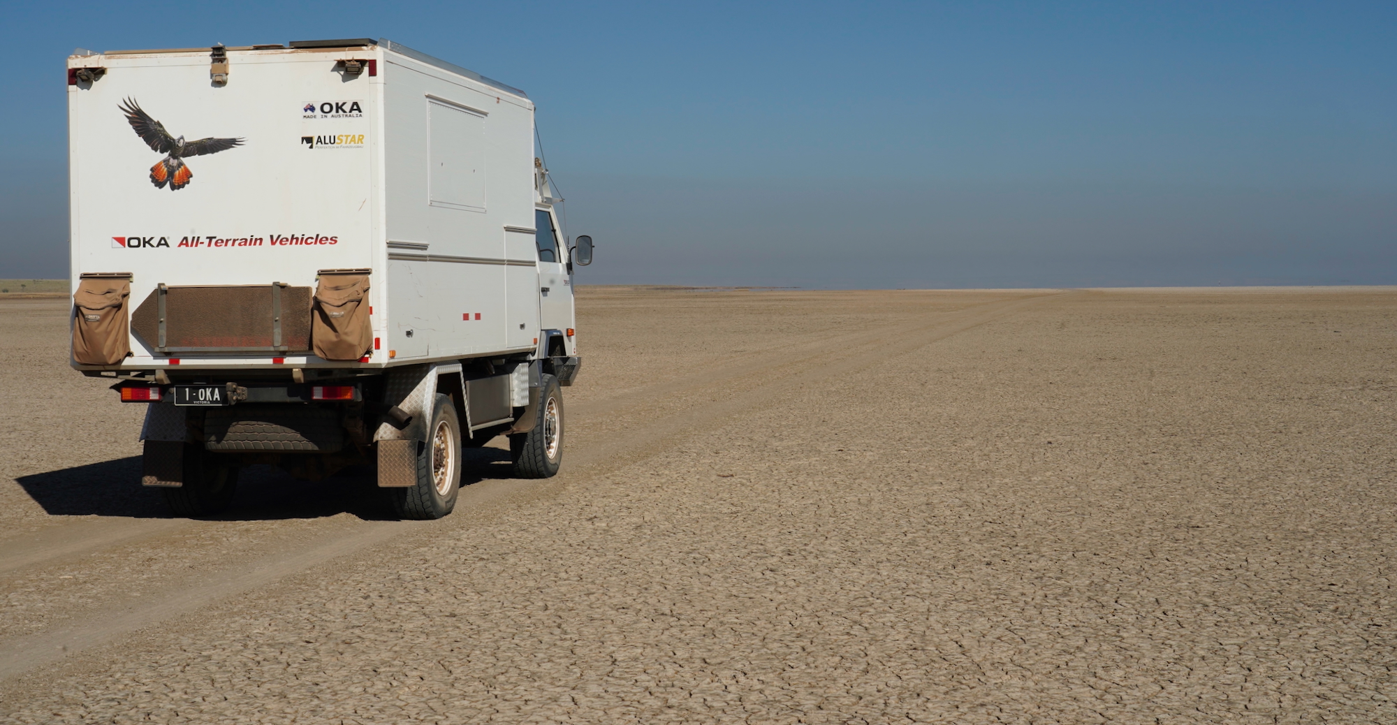
At the top (1300 metres) & in the midst of the Nundle Forest we pulled up for a cuppa to relieve the tension of the climb, but also to investigate a new noise from the somewhere in the canopy. The compressor mountings had worked loose & it was shaking itself around. Fixing it took an hour thanks to the way in which I’d mounted it back home. It had been fine for 2 or 3 years, but the constant pressure from corrugations shows up what smooth bitumen never will. Re-mounting it is another item added to the ‘to do at home’ list. This was always going to be a ‘shakedown trip’ & as such things were going to show up as being in need of changing or fixing. So far nothing major, but the ‘home list’ continues to lengthen & it’ll be good to have longer than the initially planned 2 weeks to work through the list before we jump on the ferry to Tasmania at the beginning of December.
Not long after leaving the forest we joined the highway – Thunderbolt’s Way. I had driven down this road alone some 6 or 7 years ago, & it is beyond me how I was able to remember some details of the drive, but had completely forgotten just how steep it is. We climbed, with spectacular glimpses of mountains stretching away into the distance seen briefly through gaps in the the thick trees, but it was the going down which I would have thought should have been etched into my memory banks. It is without doubt the consistently steepest length of ‘main road’ I have experienced…..anywhere! A multitude of repetitive signs urge motorists not to ‘fry’ their brakes & for anyone towing or driving a truck or a bus to use ‘low gear’. Which low gear is not specified, but I quickly found that 2nd was too high, with the Tvan pushing us 2nd gear saw engine revs quickly rising higher than they have ever done in my ownership, getting close to ‘redline’ before I slowed things down with the brakes & selected 1st gear. We rolled the rest of the way down the winding 12% gradient (whatever 12% means – bloody steep I reckon!) for about 12 kms with just a brief respite of a slightly lower percentage midway until reaching our stop for the night at Bretti Reserve. The Patrol’s 6 cylinder diesel motor held it at between 3000rpm & 3200rpm all the way down. In first gear we were probably doing around 30kph, & had ‘heroes’ in lighter vehicles racing past us, crossing double white lines quite regularly. We expected to see some of them splatted on roadside trees as we descended, but saw only crosses commemorating those who have previously lost their lives. Quite an experience!
The highway overlooks Bretti Reserve, which is set along a river at the bottom of a valley surrounded by mountains. Few free camping spots could boast such a spectacular setting, and as a result is a popular destination for families during school holidays. Caravans, campers & tents were in all the best spots, looking as though they had been there for some time, judging by the large communal fires & trailer loads of firewood still as yet unused. Babies screaming, children yelling & parents yelling at them, multiple rubbish skips overflowing & raised husband & wife voices as the unfamiliar packing/unpacking routines were negotiated was part & parcel of the school holiday experience – our first (& hopefully the last). Somewhere in the mix the sound of lone bagpipes echoed through the valley. Having a camper capable of being towed down closer to the river where other’s dare not go made it possible for us to camp a little distance away from the hordes & drew more than a few envious comments from those taking a stroll down to the river from their camps. Early rising allowed us enjoy a little serenity with our coffee before the tube floating & BMX riding kiddy cacophony frightened away the Rainbow Bee Eaters across the creek & the Scarlet Honey Eaters from feeding in the red bottlebrush trees alongside our camp.


The short but steepish climb back up to the highway readied us for the ups & downs to follow. Nothing as steep as we had already experienced, but a constant switchback across green hills & valleys all the way to the pretty town of Gloucester with it’s mountain cliff backdrop, where we re-fuelled & restocked before continuing south looking for another overnighter. Our database of camps showed one a little south of Gloucester at Stratford. (on the Avon River!) but upon inspection it didn’t look too inviting, so we explored the ‘backblocks’ of the town, away from the highway. It was an interesting drive through once pretty valley & hillside farming land, but now dominated by open cut coal mines, along with lots of fences & No Entry signs. Back on the highway we continued south, past the large sign (& many smaller of the same ilk) stating ‘Mining Wrecks Communities’ & took a west turn along a minor road on spec. We could see forested mountains in the distance a few kms away & hoped we might find somewhere to hide away for the night without upsetting anyone. A lovely little spot hidden on the edge of the forest provided us with an almost peaceful night & lovely views over the valley’s farmlands. ‘Almost’ because we had a visitor not long after falling asleep. A feral pig just a few feet away from our open backed camper (tent not deployed) seemingly unaware of our presence awoke us with it’s noisy search for tucker……. bush entertainment! 🙂 Around dawn the bellowing of bulls & the mooing replies echoed through the hills. The echoes were were actually pretty good & added a new dimension to the dawn choruses to which we have become accustomed to. It was a good ’stealth camp’ & we were gone by 8:30am with no evidence we had ever been there.


We reached our friend’s, Peter & Sandra’s home in Dungog the following day where we enjoyed socialising & home comforts in another pretty & friendly town for a few days.

A slightly overdue oil change on the Patrol was completed & we were ready to climb more mountains. The attempt to get up to Gloucester Tops was foiled by bushfires currently being managed there….. the road was closed, but we were still able to take the scenic Rawdon Vale Road route (from the Gloucester Tops Road up to the Barrington Tops Road) without needing to retrace our steps through Gloucester. The climb up to the high forests of Barrington Tops was another tortuous haul. Not as narrow as that up to the Nundle forest, but longer & steeper. Driving it without towing would have been a piece of cake, but again the Tvan felt like an anchor. On numerous occasions the alarm on our Exhaust Gas Temperature (EGT) gauge screamed at me, having reached it’s pre-set limit. This was of less concern than the coolant temperature gauge doing the same thing at the same time. I have the EGT alarm set at a conservative 525 deg.C & consider 600 Deg.C the ‘do not pass this point’ mark. Backing off the accelerator a little allowed me to keep the EGT readings within acceptable limits, but managing the coolant temperature was more difficult with it rising into the red zone commencing at 100 Deg.C. Thankfully the use of high concentration coolant rather than water prevented it from boiling. Driving at higher revs in 1st gear allowed the fan to push enough air through the radiator to keep the needle from going above the 100 Deg.C mark, in conjunction with a midway lunch & cooling down stop. It was quite a relief once over the top & on downhill sections to see coolant temperatures returning to the normal 80-90 Deg.C. During all of this the car’s factory fitted temperature gauge didn’t move from it’s normally operating position!

Barrington Tops, at around 1500 metres, has a different climate, cooler & wetter. Snow in winter & subject to sudden weather changes at any time of the year. Different flora & fauna. Snow Gums, Arctic Beech & many others. Large kangaroos – grey with orange backs. Small creeks everywhere. The Manning River which flows through Taree starts up on the Tops & we camped alongside it in a lovely sheltered camp site we had all to ourselves for 3 nights. Set up camp on the first night, spent the day 4wd’ing through what were fun but challenging tracks on the second day, followed by a relaxing sunny 3rd day, during which I have written this ready to post when we are once again back in ‘internet-land’.


After beautiful weather our final night on the ’Tops’ got wet. It poured with rain most of the night. We awoke to a thick ‘pea-souper’ fog. The heavy layer of cloud which had rained on us had descended to our ground level. After packing up between ‘showers’ caused by the wind blowing the trees above us, we managed to leave without becoming overly soggy. The drive through the forest was slow as visibility was very low & occasional fallen trees across the roads were hard to see until just metres away. Leaving the ‘Tops’ via the western ‘Dingo Gate’ provided us with unexpected views. Just after the gate the road winds steeply downward & we dropped down from the clouds affording us views of sunlit mountains & valleys underneath them. This was a “Wow!” moment.

MrsTea was keen to visit Burning Mountain, north of Scone, on the New England Highway, but rather than taking the road from the Tops to Scone, we detoured up the back roads, past extensive horse & cattle properties, through ‘Scottish glen-like’ country to Timor , bringing us out onto the New England Highway just a liitle north of Burning Mountain. It was a long hot walk to the summit to see the mountain burning. Not very spectacular, but interesting to see. The mountain contains seams of coal, approximately 30 metres deep, which are estimated by scientists to have been burning for 6000 years. The burn along the seams moves at around 1 metre per year. We stood, hot & breathless overlooking an area of white, yellow & red ash & rock with a heat haze shimmering over the current ‘vent’. We could feel the heat. On the walk up we observed numerous places where seams had burned, later collapsing. Evidence of baked earth. Forest lower canopy bare, save for fallen branches. Eventually this is re-colonised by the area’s flora.
It was, for us a long day. After Burning Mountain – down to Scone & Muswellbrook & on to the beautiful Bylong valley. This fertile valley between scenic mountains extends for around a couple of hundred kms, a steep climb up over forested mountains part way, but continuing on south of them. The best views were in spots where it was too difficult to stop, but driving the valley north to south is something I’d recommend. Perhaps a visit sooner rather than later should be considered. It appears that the valley is in the sights of the coal mining industry, signs along the road were very clear that the preference locally is for farms not mines. We hope that the short term profiteering polluters can be seen off by the sustainable farmers in this fertile valley, but we live in times where the mining dollar weighs more than the farming dollar. All sealed road. The towns of Rhylstone & Kandos were a surprise, we had expected small ‘single general store’ towns, but found country communities with all facilities. The surrounding mountains give residents a wonderful backdrop to their lives! We camped at Kandos, on the manicured grass adjacent to the ‘Men’s Shed’ & the now disused rail station & were made to feel most welcome by the townsfolk we met.
